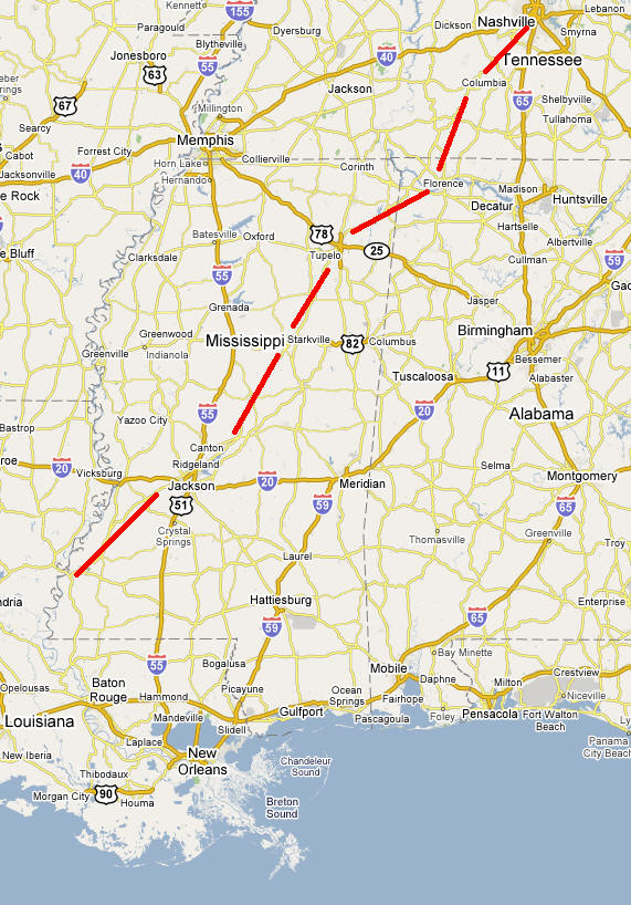

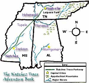
From Muscle Shoals in northwest Alabama, we drove along the Natchez Trace Parkway 450 miles to Natchez on the Mississippi River in southwest Mississippi.
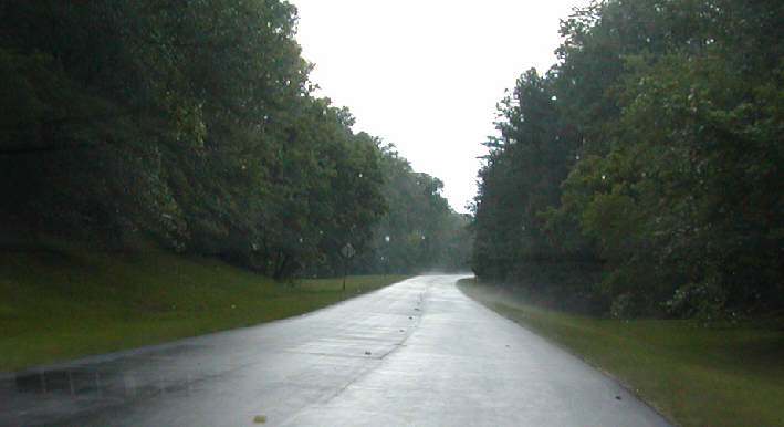
The South has a subtropical climate, which means it tends to be hot and humid, like a wet sauna. After a rain, it looks like a steam room.
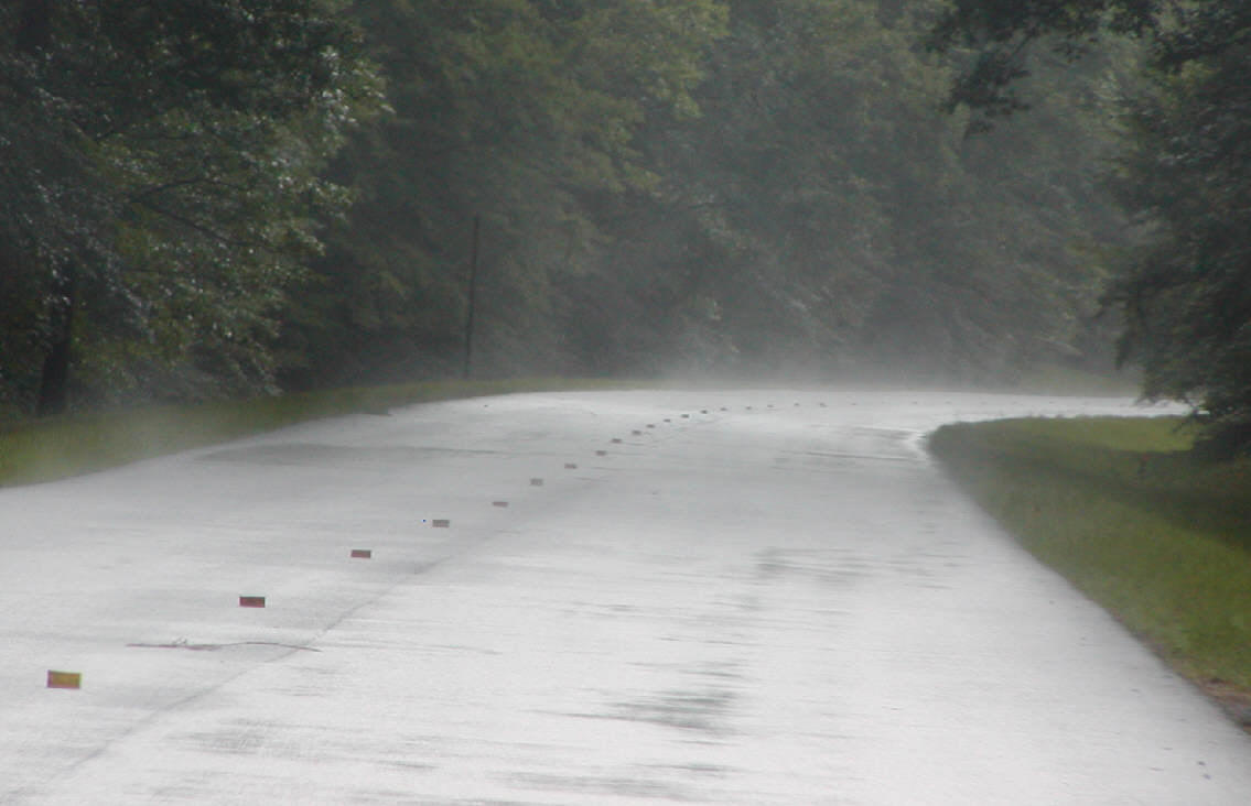
At time the steam can make it difficult to read road signs. Maybe that's why the speed limit is 50 miles per hour.

Despite the humidity, due to Global Warming (Global Warning?), the South has suffered the worst drought people can remember and many farmers have had to giving up their farms.
Here's the Alabama/Mississippi border. The Trace Parkway parallels the ancient Trace trail. Along the Trace, there are many burial mounds that the native inhabits built. Here is one.
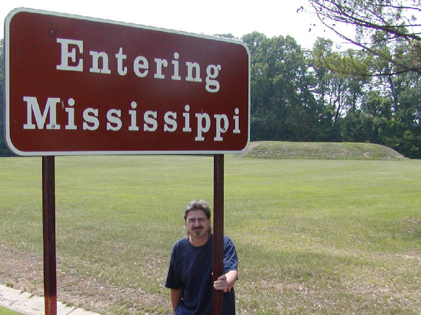
What is the Trace? It is a trail that the natives and Colonialists used. Before steam ships could go UP the Mississippi River, this trail was the highway to the north east. Many travelers in George Washington's day only rode the River south, then had to hike north.
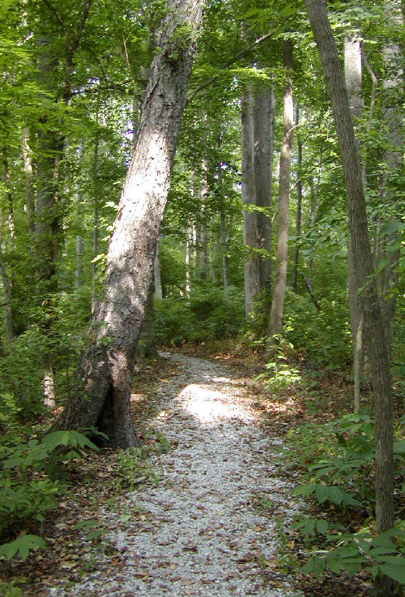
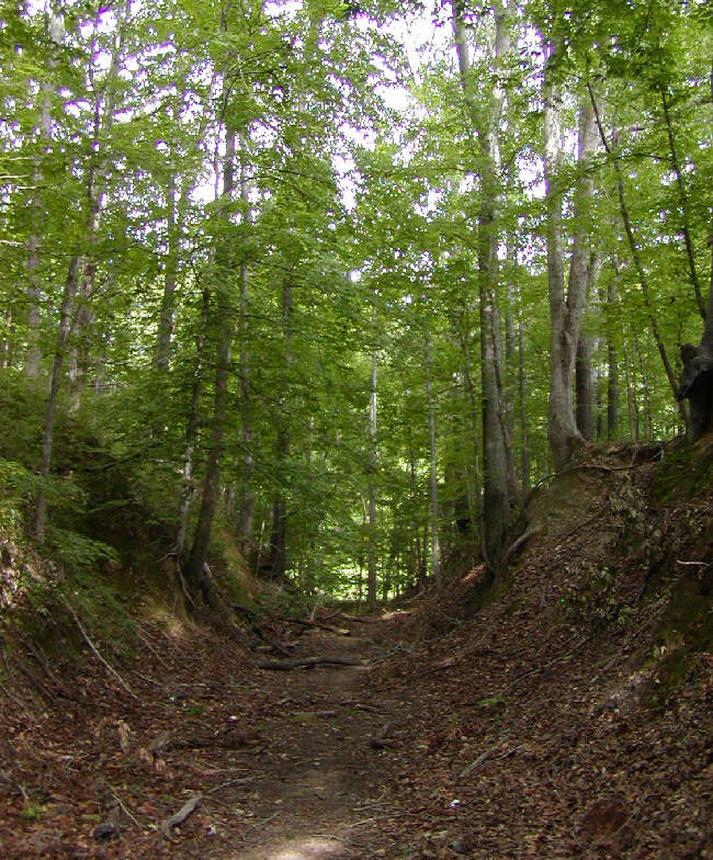
Many parts of the trail sunk in the humid environment and were vulnerable to ambush by thieves, bandits, and outlaws.
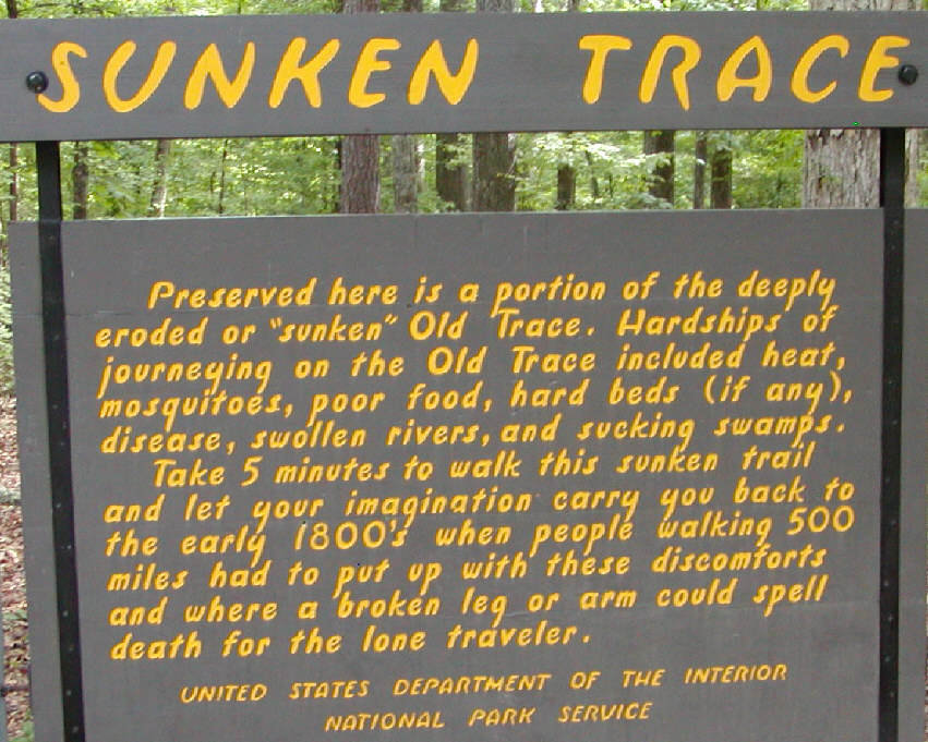
The Trace trees can tolerate lots of water.
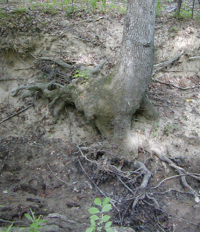
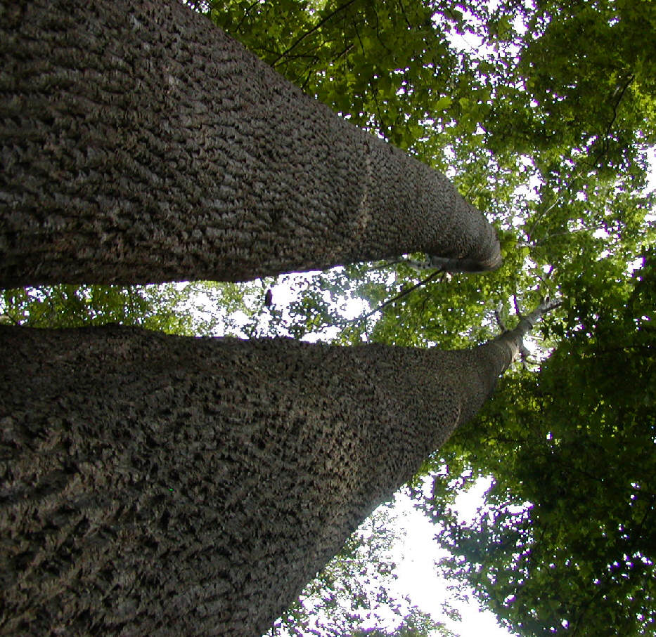
This is a Tupelo tree.

There is also a city named Tupelo.
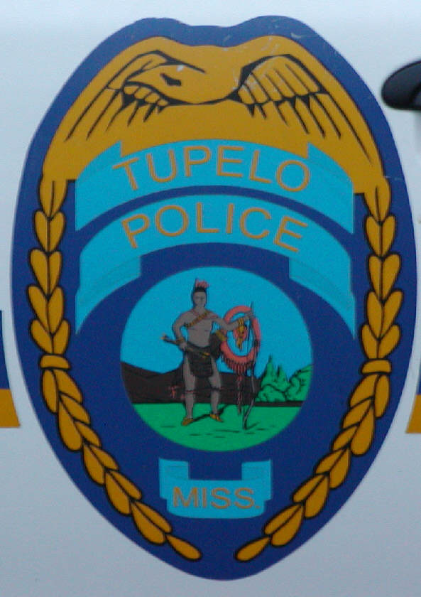
We went to Tupelo city for chicken "tenders", the "tenderloin" part of the chicken (no bones or skin). In the North, chicken "tenders" are called chicken "fingers". Anyway, at the Chicken Tenders store, we saw a photo of Old Mississippi football fans with painted chests.

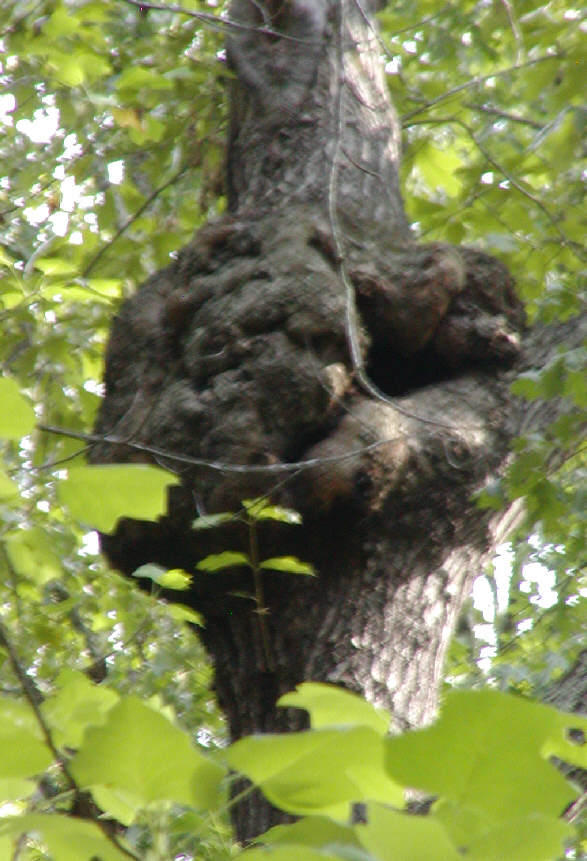
Back to the Trace, where some trees are gnarly.
As we went southward, the forest became thicker and more lush.
